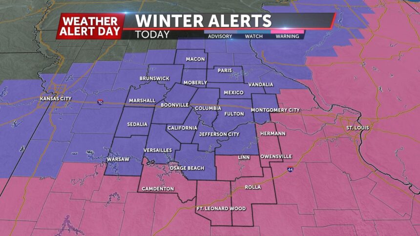
(KMIZ) — MONDAY: Snow ongoing this morning, but relax a bit in intensity but will ramp back up mid-late morning. This will be the heaviest batch of and where we pick up the majority of our accumulations. Northerly winds won’t help much, blowing snow around and leading to subzero wind chills throughout the day. For more information on timing and impacts, head over to the Stormtrack Insider Blog.
TONIGHT: Snow will still be coming down this evening but start to wrap up from west to east closer towards midnight. Another dangerously cold night in store with lows falling in the -5 to -10 range and wind chills -20 to -25.
EXTENDED: We’re stuck in the cold on Tuesday after that brutal start. Highs will reach into the teens, however, as we start the slow climb back to the freezing mark throughout the week. We’re tracking another disturbance that could interrupt that towards Wednesday night which will bring the threat of additional accumulations. Despite that setback Wednesday/Thursday, highs will warm into the 30’s by Friday and nearing 40 on Saturday.
 KWOS Jefferson City News Authority


